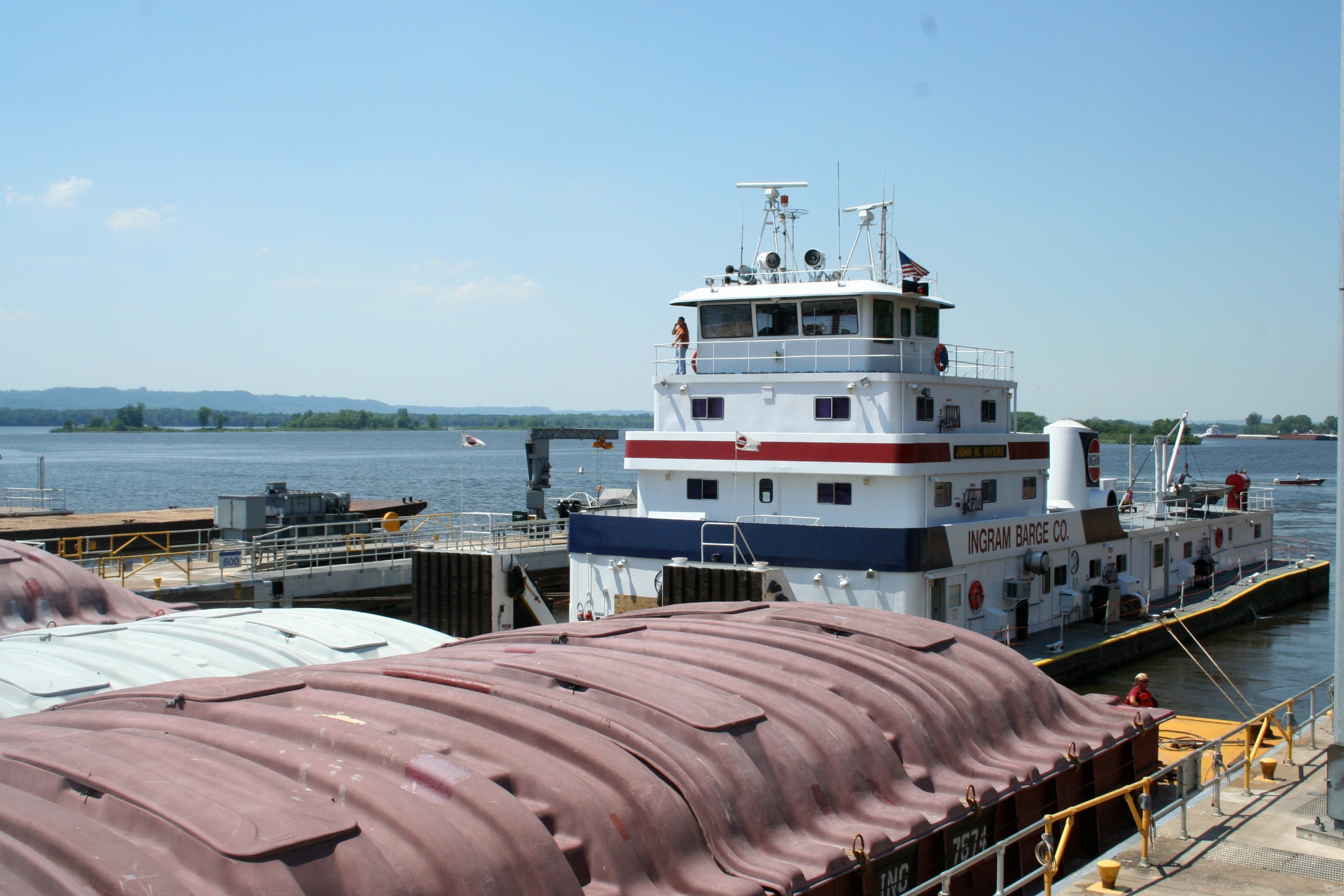
Travelers along the Great River Road will encounter a marvel of engineering. There are 29 lock and dam structures built along the upper Mississippi River, creating a “stairway of water” that allows pleasure boats, tow boats and barges to travel from St. Louis to St. Paul (or vice versa). These impressive structures help these boats and barges deal with the change in altitude on the northern section of the river (a 420-foot drop from Minneapolis to Granite City, Illinois, according the Applied River Engineering Center.)
You won’t find locks and dams on lower sections of Mississippi River. Why? The Missouri, Illinois, Arkansas, Ohio, and other rivers flow into the Mississippi, making the river naturally wider and deeper downstream. The barges need a lot of river to operate. According to the Applied River Engineering Center, a “full tow” includes a tow boat and 15 barges, arranged three wide and five deep. Together, these connected barges stretch as long as 1,200 feet!
Here’s a look at the locks & dams you’ll see as you’re driving along the northern Great River Road from north to south. (Interested in a tour? See which locks & dams offer tours here.)
Minnesota
- Upper St. Anthony Falls – Minneapolis
- Lower St. Anthony Falls – Minneapolis
- Lock & Dam #1 – Minneapolis
- Lock & Dam #2 – Hastings
- Lock & Dam #3 – Red Wing
- Lock & Dam #5 – Winona
- Lock & Dam #7 – LaCrescent
Wisconsin
- Lock & Dam #4 – Alma
- Lock & Dam #5A – Fountain City
- Lock & Dam #6 – Trempealeau
- Lock & Dam #8 – Genoa
To see what it’s like out on a barge (and perhaps catch a big fish) check out the Clements Fishing Barge near Lock and Dam #8 in Genoa, Wisconsin. The business offers a fun and affordable way to experience some river fishing.
Iowa
- Lock & Dam #9 – Harpers Ferry
- Lock & Dam #10 – Guttenberg
- Lock & Dam #11 – Dubuque
- Lock & Dam #12 – Bellevue
- Lock & Dam #13 – Clinton
- Lock & Dam #14 – LeClaire
- Lock & Dam #16 – Muscatine
- Lock & Dam #19 – Keokuk
Illinois
- Lock & Dam #13 – Fulton
- Lock & Dam #15 – Rock Island
- Lock & Dam #17 – New Boston
- Lock & Dam #18 – Gladstone
- Lock & Dam #21 – Quincy
- Lock & Dam #26 – East Alton
- Lock & Dam #27 – Granite City
Lock & Dam 15 at Rock Island is home to the Mississippi River Visitor Center, where visitors can learn about the geologic and industrial history of the Upper Mississippi River, as well as flood control efforts along the river and the mechanics behind the locking-through process for boats and barges.
Missouri
- Lock & Dam #20 – Canton
- Lock & Dam #22 – Saverton
- Lock & Dam #24 – Clarksville
- Lock & Dam #25 – Winfield


